Unlock the Potential of Your Land with Drone-Assisted Horticultural Services

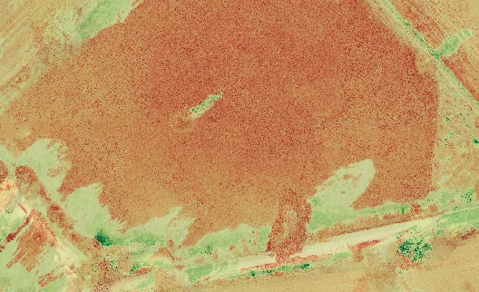
Welcome to SkyPermaPerspectives.co.uk, your trusted partner in harnessing the power of drone technology for efficient data collection, detailed site mapping, and plant health assessment. We explore the benefits of utilizing drones in horticulture and how our services can help you make informed decisions about your land. Our comprehensive solutions will assist you in optimizing your …

🎉 CAA Operational Authorisation – Granted for Drone Services! 🚁✨

I am thrilled to share some fantastic news with you all. Today, my operations manual was approved and I received operational authorisation from the Civil Aviation Authority (CAA), for drone operations in the specific category. 📜✅ This is a significant achievement which allows me to offer an even wider range of exceptional and efficient services …

🌐🚫✈️ Successful Field Survey: Within a Flight Restricted Zone ✅📝🔍

I have a story to share about a field survey experience of mine, using drone mapping. 🚁🌍 Imagine needing a field survey or inspection, but finding yourself within a flight restricted zone. Don’t fret! 😅 I encountered a similar situation when approached by a client for a survey of their property. Planning is key to …

Embracing Sustainable Drone-Assisted Horticulture for a Greener Future

Table of Contents Introduction In today’s rapidly evolving world, sustainable practices have become paramount. As we seek innovative solutions to address the challenges of modern crop production, one groundbreaking technology has emerged as a game-changer: drone-assisted horticulture. This cutting-edge approach combines the power of unmanned aerial vehicles (UAVs) with sustainable practices, revolutionizing the way we …

5 Key Things

If you’re considering hiring someone to carry out an aerial map or survey for your land, there are a few important factors to keep in mind. Here are five key things you should know before proceeding with aerial mapping or survey services: By considering these key factors, you’ll be better prepared to engage with a …

Why Choose Us?

At SkyPermaPerspectives.co.uk, we pride ourselves on providing exceptional service and delivering outstanding results. Here’s why choosing us for your drone-assisted horticulture needs is the right decision:

Drones @ The Design

Integrating drones into the horticultural and permaculture design process enhances efficiency and provides valuable insights. Here’s how: 1. Site AssessmentDrones conduct aerial surveys, providing a bird’s-eye view of the land. They capture high-resolution imagery, helping understand topography, identify challenges, and assess the site’s layout. These images serve as references during the design phase. 2. Mapping …

Frequently Asked Questions

Q1: How do aerial maps and surveys benefit landowners? A1: Aerial maps and surveys provide landowners with accurate and detailed information about their property, including topographic data, layout, and features. This information helps in planning and decision-making processes for various purposes like agriculture, landscaping, and land development. Q2: Are drones more efficient than traditional surveying …